UNDRR Logo

Knowledge

  • Global Assessment Report (GAR)
  • PreventionWeb

Special Events

  • Global Platform
  • International Day for Disaster Reduction
  • World Tsunami Awareness Day

Tools

  • Sendai Framework Monitor
  • Voluntary Commitments

UNDRR

  • UNDRR Africa
  • UNDRR Americas
  • UNDRR Arab States
  • UNDRR Asia-Pacific
  • UNDRR Europe
  • Home
  • About UNDRR
    About us
    As the UN Office for Disaster Risk Reduction, UNDRR convenes partners and coordinates activities to create safer, more resilient communities.
    Learn more

    We Mega Menu - About us

    • Our work
    • Our impact
    • Where we work
    • Funding
    • History
    • Work with us

    We Mega Menu - About us 2

    • Where we work
      • Africa
      • Americas & Caribbean
      • Arab States
      • Asia & Pacific
      • Europe & Central Asia
    • Liaison and sub-regional offices
      • Bonn Office
      • Kobe Liasion Office
      • New York Liasion Office
      • Office for North East Asia and Global Education and Training Institute
      • Suva Sub-regional Office
  • Implementing the Sendai Framework
    The Sendai Framework
    is the global roadmap for reducing human and economic loss as a direct result of disasters.
    Learn more

    We Mega menu - Sendai Framework 1

    • What is the Sendai Framework?
    • Voluntary Commitments
    • The Sendai Framework in action
    • Training
    • The Sendai Framework and the SDGs
    • Global Platform for DRR
    • Regional platforms

    We Mega menu - Sendai Framework 2

    • Partnerships
      • Partners and stakeholders
      • Initiatives
  • News & events
    News & events
    UNDRR organizes the Global, Regional and National Platforms on Disaster Risk Reduction and facilitates training workshops around the world.
    Learn more

    We Mega Menu - News & Events

    • Latest news
    • Media centre
    • Event calendar
    • DRR platforms
    • International Day for Disaster Risk Reduction
    • World Tsunami Awareness Day
    • Awards

    We Mega Menu - News & Events 2

    • Global Platform for DRR
    • Regional Platforms
      • Africa
      • Americas & Caribbean
      • Arab States
      • Asia & Pacific
      • Europe & Central Asia
  • Building Risk Knowledge
    Knowledge
    We provide tools such as the DRR Community site PreventionWeb, publications on good practices, and the Global Assessment Report (GAR)
    Learn more

    We Mega menu - Knowledge 1

    • Understanding risk
    • Global Risk Analysis and Reporting
    • DRR community
      • PreventionWeb
      • International Recovery Platform

    We Mega menu - Knowledge 2

    • Global Assessment Report
    • DESINVENTAR
    • UNDRR publications
    • UN resolutions & reports
    • Terminology
  1. publication
  2. Documents and publications

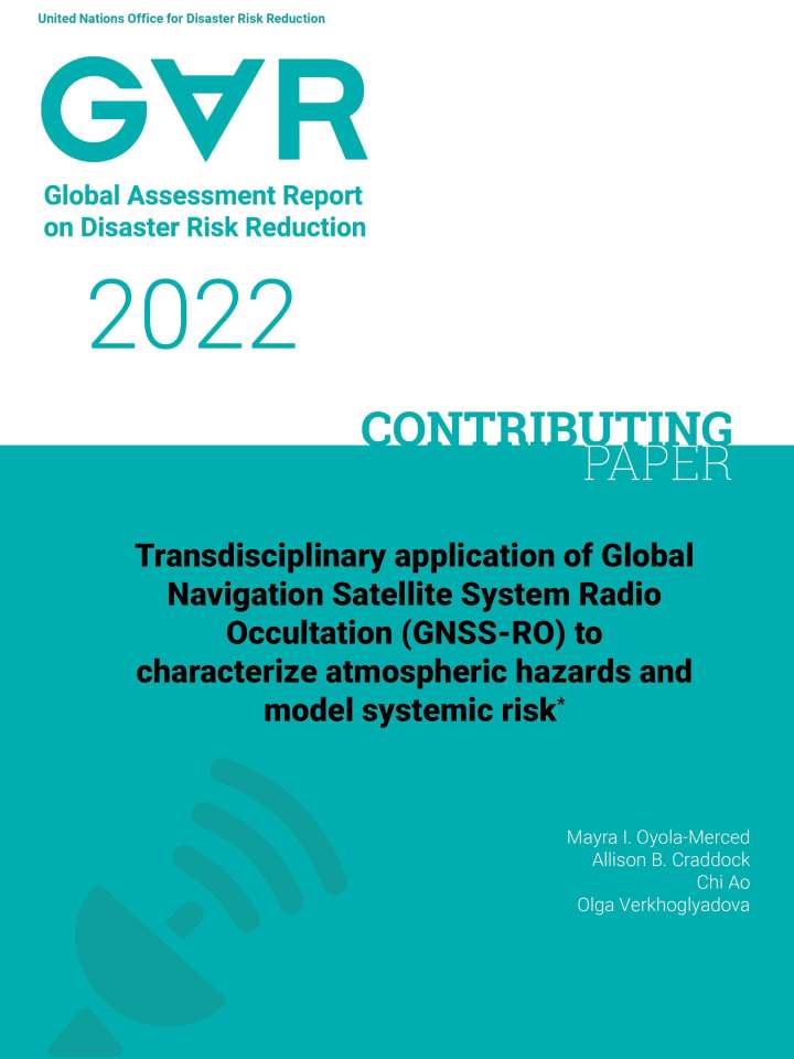
Transdisciplinary application of Global Navigation Satellite System Radio Occultation (GNSS-RO) to characterize atmospheric hazards and model systemic risk


Documents and publications
Working papers
Author(s)
Mayra I. Oyola-Merced
Allison B. Craddock
Chi Ao
et al.
Source
United Nations Office for Disaster Risk Reduction
Cover and title of publication
Publication Year
2022
Number of pages
28 p.

This contributing paper takes a look at the use of radio occultation to infer temperature and improve modeling for wildfire risk. Retrieving good-quality measurements of vertical profiles of atmospheric parameters (moisture, wind, temperature, and vertical information of aerosols) in wildfire events remains an extremely challenging endeavor. Global Navigation Satellite System Radio Occultation (GNSS-RO) provides an opportunity to augment radiosondes as anchor observations, and has been proven to result in smaller, more accurate bias corrections in infrared and microwave observations in numerical weather models, resulting in an overall more effective use of satellite radiances and a larger number of radiance observations that pass quality control.

The study illustrates feasibility for applying GNSS-RO satellite data, with particular interest in the lower troposphere, to determine weather conditions that can exacerbate the production of pollutants and their emissions during severe air quality events in western North America. This geodesy-based analysis technique, coupled with existing and emerging aerosol concentration information from Earth observation satellites, weather models, and air quality indices, can potentially bring to the development of tools to study environmental triggers to air quality deterioration at both regional and global scale.
Share this
Go back
Also featured on

PreventionWeb

Download
Download file
(2.3 MB/PDF)
Related information
Related links
Advances in satellite data for wildfire smoke forecasting
Improved algorithms help scientists monitor wildfires from space
How AI can help the world fight wildfires
Radar satellites can better protect against bushfires and floods
Robots, drones and satellites: NSW to research new bushfire fighting technology
Keywords
Hazards
Wild Fire
Themes
Early Warning
Risk Identification & Assessment
Space & Aerial Technology
Systemic Risk
Country & Region
United States of America

Stay in touch

Sign up for UNDRR updates

UNDRR Tools

  • Making Cities Resilient
  • PreventionWeb
  • Sendai Framework Monitor
  • Voluntary Commitments

Contact us

Sendai Framework

© UNDRR

Footer

  • Fraud Alert
  • Privacy Policy
  • Terms of Use

Sustainable Development Goals Logo