
Seven innovations that buy time before a tsunami reaches the shore
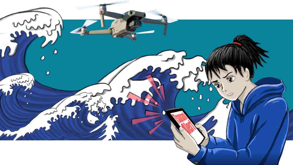
A tsunami warning is a race against time. A wave triggered close to shore can arrive within minutes, and when a volcano or landslide is the source, systems designed around earthquakes may register the threat late or not at all.
Innovation is narrowing that gap at both ends of the warning chain. Satellites, seafloor cables and acoustic signals are helping scientists detect tsunamis sooner and from more kinds of source, while apps, drones and lab-tested defences are carrying that knowledge to where the people at risk are, and protecting the places they live.
The seven examples below – taking up the 2026 World Tsunami Awareness Day theme “Be Tsunami Ready: Resilience starts with you” – show practical cases where technology is empowering individuals and coastal communities to act.
1. Japan’s everyday weather app doubles as a tsunami alarm
Weathernews, a weather app with 47 million downloads in Japan, provides attention-grabbing alerts for extreme weather events, as well as warnings on tsunamis, earthquakes and volcanic eruptions, and its location-based monitoring follows users wherever they travel. A dedicated tsunami channel shows warning status, forecast arrival times and observed wave heights in real time, as it did when warnings were issued for Hokkaido, Aomori and Iwate in December 2025. Because people already consult the app every day, critical warnings reach them through a service they know and recognise.
2. Sendai brings government, business and science together to build tsunami technology
After 2011, Sendai city’s leadership realized that disaster risk reduction cannot be achieved by governments alone, and in 2022 it launched the BOSAI-TECH Innovation Platform, which now links more than 300 businesses, municipalities, universities and research institutes. Companies visit tsunami evacuation towers and stockpile stores to hear practitioners’ problems first-hand, then pitch and test solutions with local governments. One result is a system whereby drones take off automatically when a tsunami warning is issued and fly the coast broadcasting evacuation messages, first used during the Kamchatka warning in July 2025. This is quicker, more efficient and safer than sending people to give the alert – an action that cost several municipal employees their lives in 2011.
3. Satellite navigation signals spot a tsunami crossing the ocean
NASA’s experimental GUARDIAN system reads the tiny disturbances a tsunami causes in the upper atmosphere, using GPS and other satellite-navigation signals already recorded by more than 350 ground stations around the Pacific. After the Kamchatka earthquake in July 2025, it picked up signs of the tsunami eight minutes after the quake, and a station in Hawaii detected the incoming wave 32 minutes before tide gauges did. Because it uses data that already exists, it offers a low-cost way to add minutes to warnings across an entire ocean basin.
4. Undersea internet cables are learning to sense tsunamis
The SMART cables initiative, backed by the ITU, WMO and the UNESCO Intergovernmental Oceanographic Commission, is fitting temperature, pressure and seismic sensors into new undersea telecommunications cables, turning the backbone of the internet into a seafloor observation network. The first system, Tamtam, will link Vanuatu and New Caledonia, with France supporting the initiative through its France 2030 programme. Modelling suggests a few sensor cables crossing the Pacific could cut the time needed to detect tsunami-generating earthquakes by around 20 per cent.
5. Underwater ‘booms’ could give earlier warning of volcanic tsunamis
Researchers re-examining Tonga’s 2022 Hunga eruption found that the most destructive local tsunami, with run-ups of 18 to 40 metres, came from the sudden collapse of the volcano’s caldera, and that the collapse sent sound waves through the ocean that seismic stations registered up to 2,600 kilometres away. Sound travels through water more than seven times faster than a tsunami, so listening for these signals could give communities early notice of volcanic tsunamis, which systems built around earthquakes struggle to detect in time.
6. Alaska’s mega-tsunami leaves a blueprint for landslide warnings
On 9 August 2025, a landslide into Alaska’s Tracy Arm fjord sent water 481 metres up the opposite wall, the second-highest tsunami on record, in the early morning before cruise ships entered. Heavy rain, rapid glacier retreat and thousands of small tremors came first, and seismologists at the Alaska Earthquake Center say a colour-coded alert system built on those signs could have warned ships and coastal communities at least a day ahead. As glaciers retreat across Alaska, Greenland and Norway, this kind of monitoring matters wherever steep slopes meet the sea.
7. Engineers recreate tsunamis in the lab to test what protects a coastline
Professor Tiziana Rossetto helped develop Europe’s largest pneumatic tsunami simulator with HR Wallingford while at University College London, and now continues the work as professor of natural hazards engineering at TU Delft. Recreating tsunamis at scale has confirmed the value of coastal forests and mangroves in delaying the wave’s arrival on shore, while pressure sensors on model buildings measure the forces the water exerts. The findings are giving engineers guidance for designing coastal defences and critical infrastructure that can withstand tsunamis’ onslaught.
Each of these tools buys time – eight minutes from a satellite signal, a day from a glacier’s warning signs, a strip of mangroves between the sea and a town. What people do with that time still depends on whether they receive the warning, trust it and know what to do and where to go.