New Zealand shares multi-hazard modelling tool with Pacific countries
New Zealand has experienced disasters from a range of hazards: earthquakes, volcanic activity, tsunamis, floods, tidal surge, snowstorms, and landslides. Their experiences, expertise, and technology have proven useful for Pacific Island nations, which are among the most prone to disasters.
One of the results of this expertise has been the development of RiskScape, a free software programme that performs complex multi-hazard risk modelling without needing specialist modelling knowledge. It is used to run disaster impact and loss scenarios to provide information on what could happen in a natural hazard event or disaster, and thus inform planning.
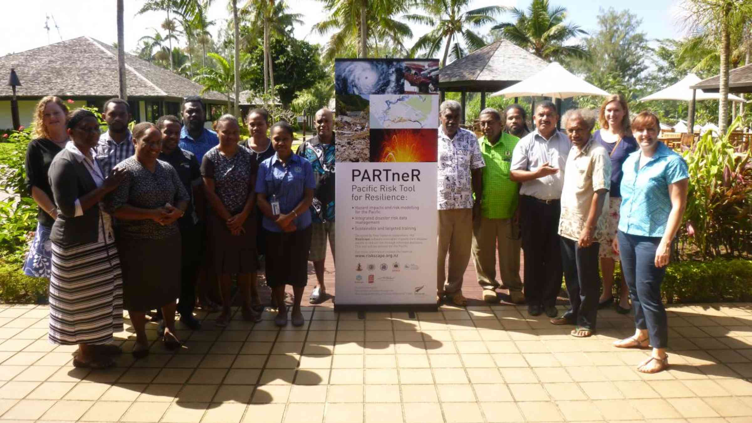
In 2016, New Zealand funded and launched The Pacific Risk Tool for Resilience (PARTneR) project to tailor the RiskScape tool to inform disaster risk management in Pacific Island countries, with pilots in Samoa and Vanuatu.
After all, future hazard events can be greatly reduced by using science-based risk assessments, which can inform decision making around land use planning, development projects and guide disaster risk efforts.
PARTneR is managed by the National Institute of Water and Atmospheric Research (NIWA) and seeks to build the capacity of Pacific government agencies such as the Samoa and Vanuatu National Disaster Management Offices (NDMOs) to use risk tools through joint learning and two-way engagement.
The project has conducted at least six trainings with more than 100 participants from the governments of Samoa, Vanuatu, and the Pacific Community to build their capacity and strengthen their resilience to disasters.
“PARTneR collects information on natural hazards, assets and their vulnerability to better understand the effects of that hazard on people, communities and buildings. We then work with countries to integrate the information into RiskScape and to run the program to model the likely impact of a hazard event,” according to the project description on its website.
PARTneR has worked with Samoa and Vanuatu to collect, archive, manage and disseminate accurate information on disasters. In partnership with the Pacific Community, this has contributed to the establishment of GeoNode servers in Samoa and Vanuatu which store accurate information on previous disasters, impact maps and models of disaster impacts. Government agencies can now access the information readily to plan a better response.
Owing to this, Vanuatu and Samoa are now better able to plan for future disasters.
In Vanuatu, a case study on the impact of a tropical cyclone in Lenakel, Tanna has shown that the major hazard is flooding. This information was used to inform zoning and urban planning in the area to increase resilience to the cyclone hazard, which would reduce loss, disruption time, and potential injuries or fatalities.
Meanwhile, the tsunami case study in Samoa is already being used by its disaster management office to illustrate the potential impacts of a future tsunami.